

Design Services
Commercial Development
BEi has prepared hundreds of Civil Engineered site plans. We will partner with you to maximize your lot's potential and meet your needs. We listen first and then implement a plan with your needs in mind that take advantage of the site topography.
Commercial development services include:
Topographic Surveying
Site Layout
Site Grading
Erosion Control Design
Permitting through Planning and Zoning
Permitting through City/County Engineering
Rezoning
Property Consolidation and Division
Construction Staking

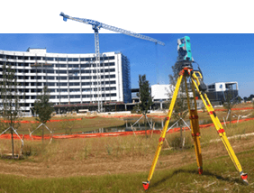
About Our Survey Staff
Our survey crews are trained and equipped to use state of the art equipment and technology including GPS integrated GNSS Systems, a total station, small Unmanned Aircraft Systems (sUAS), and computer aided drafting (CAD) software. These various tools allow our survey staff to link directly to our network system where information transfer from the field to the office is virtually seamless.
Survey Capabilites Include:
Boundary Surveying
Property Consolidation and Division
Property Rezoning
ALTA Land Title Surveying
Topographic Surveying
Construction Staking
As-Built Surveying
Flood Certification
Legal Descriptions
GPS Mapping
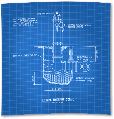
Construction & Inspection Services
Construction & Inspection
BEi has experienced engineers and inspectors on hand to oversee your project to completion, minimizing downtime and increasing productivity. We have inspectors certified to manage EPA regulations with KEPSC qualifications, and we are approved through Kentucky Transportation Cabinet for construction inspection and administration on roadways and highways.
Construction & inspection services include:
Bid Specifications
Contract Administration
As-built Record Drawings
NOI and NOT filing
KEPSC Inspections
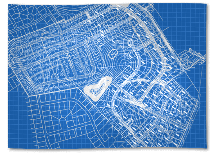
Other Services
Other Services
Aerial Surveying
As of February 2017, BEi has been routinely operating small Unmanned Aircraft Systems (sUAS) for the purpose of safely performing stockpile surveys in addition to supplementing otherwise time-consuming conventional topographic surveys. Traditionally surveyed control points on the ground ensure that aerial data can be georeferenced to match any desired coordinate system.
Aerial Services include:
Detailed Stockpile Volume Calculation
Topographic Surveying and Modeling
3D Land Visualization
Contracted Services
BEi has ongoing relationships with various other professional services companies and can provide a full turnkey approach to your project.
Contracted services include:
Geotechnical Engineering
Traffic Impact Studies
Environmental Impact Studies